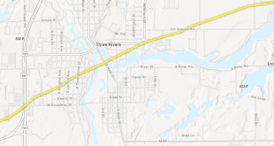
Preliminary flood-risk information and updated Flood Insurance Rate Maps are now available for review by residents and business owners in St. Joseph County.
According to a media release issued last week by FEMA, property owners are encouraged to review the latest information to learn about local flood-risks and potential future flood insurance requirements.
Community stakeholders can identify any concerns or questions about the information provided, and participate in the 90-day appeal and comment period.
The 90-day appeal period started last week.
Preliminary maps and changes from current maps may be viewed online at the FEMA Flood Map Changes Viewer: msc.fema.gov/fmcv.