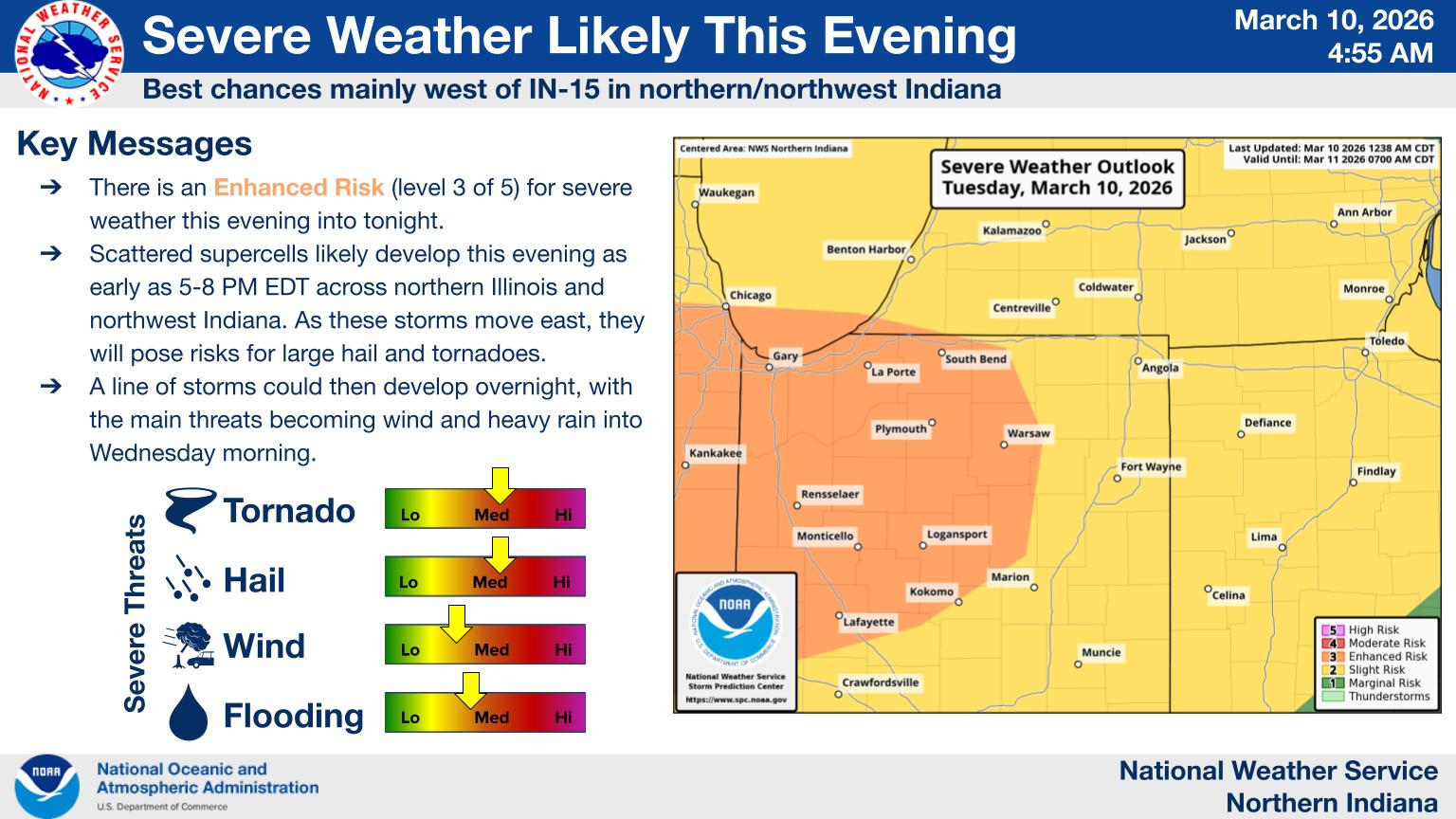
 There is an Enhanced Risk (level 3 of 5) for severe weather this evening into tonight. Scattered supercells will likely develop this evening as early as 5-8 PM EDT across northern Illinois and northwest Indiana. As these storms move east, they will pose risks for large hail and tornadoes. Severe weather will be possible across our entire forecast area tonight into early Wednesday, with the best chances west of IN-15 in northern/northwest Indiana. (NWS)

Check Also
Final NWS report – Three Rivers tornado
Three Rivers – Friday, March 6, 2026 Rating: EF2 Estimated Peak Wind: 130 mph Path …